UN
1 Broad Oaks
£ 78,000
Description
We don't have a Description for this property.
- Bedrooms
- 2
- Bathrooms
- 0


Leaflet © OpenStreetMap contributors
The heatmap indicates the level of crime in the area. The color of the heatmap indicates the crime severity and recency.
Metrics Year-on-Year
- Average area value
- 255,593.00 £Increased by 5.28 %
- Average area rental value
- 967.00 £/moDecreased by 2.22 %
- Est rental Yield
- 4.54 %Decreased by 7.16 %
- Crime Rate
- 0.00 %
from 242,775.00 £
from 989.00 £/mo
from 4.89 %
from 0.00 %
Nearby Schools
| Name | Type | Ofsted | Distance |
|---|---|---|---|
| Pennine House Hospital School | Other Independent School | Good | 0.35 KM |
| Fairfield Community Primary School | Community School | Good | 0.48 KM |
| Heap Bridge Village Primary School | Community School | Good | 1.07 KM |
| Our Lady & St Paul'S Rc Primary School, A Voluntary Academy | Academy Sponsor Led | 1.32 KM | |
| Hoyle Nursery School | Local Authority Nursery School | Outstanding | 1.78 KM |
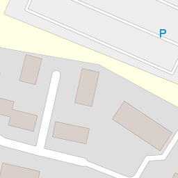
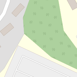
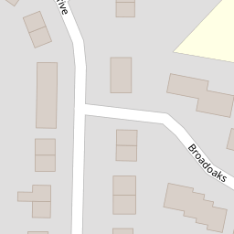
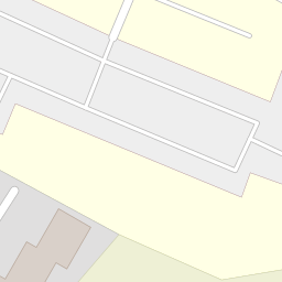
Images
Nearby Streets
| Name | Average Price | Average Sqft | Distance |
|---|---|---|---|
| Fairfield Drive | £ 0 | 0 | 0.00 KM |
| Chadwick Street | £ 300,000 | 0 | 0.00 KM |
| Sussex Avenue | £ 190,000 | 0 | 0.00 KM |
| Ashford Street | £ 160,000 | 0 | 0.00 KM |
| Welland Avenue | £ 215,000 | 0 | 0.00 KM |
Nearby Transport
| Name | NLC | TLC | Distance |
|---|---|---|---|
| Castleton (Manchester) | 2919 | CAS | 8.91 KM |
Nearby Listings
| Address | Price | Type | Score | Distance |
|---|---|---|---|---|
| Broadoaks, Bury, BL9 | £ 115,000 | BUY | 4 / 10 | 0.00 KM |
| Broadoaks, Bury | £ 125,000 | BUY | Unknown | 0.01 KM |
| Broadoaks, Fairfield | £ 145,000 | BUY | Unknown | 0.01 KM |
| Rochdale Old Road, Bury, Greater Manchester, BL9 | £ 270,000 | BUY | 7 / 10 | 0.25 KM |
| Foxglove Drive, Bury, Greater Manchester, BL9 | £ 180,000 | BUY | 7 / 10 | 0.29 KM |
Nearby Properties
| Address | Price | Distance |
|---|---|---|
| 59 Broad Oaks | £ 75,000 | 0.00 KM |
| 67 Broad Oaks | £ 60,995 | 0.00 KM |
| 79 Broad Oaks | £ 56,495 | 0.00 KM |
| 103 Broad Oaks | £ 132,500 | 0.00 KM |
| 69 Broad Oaks | £ 85,000 | 0.00 KM |